Sunday, February 24, 2013

Day 6, Feb 23, 2013: Along Escarpment Sideroad to the West

This time I was checking new "toy". I installed the RunKeeper software on my HTC Android smartphone and allowed this program to track our walk. Everything was working well, though to hear info every 5 min seemed little annoying.  But at the end of the walk we received the full report on our activity including even the amount of calories burnt. Below is a map as it was done by RunKeeper in my phone. (My negative experience with some features of the RunKeeper - see below).


Because we walked there and back (as a Hobbit) the kilometers seems not to be in order. We went from the top to the bottom of the map initially beginning from the place, where we finished in previous Day 5.
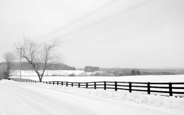
The weather was not so foggy and it didn't snow but there were low grey clouds all over the sky. Some typical pictures are below.

The Tunnel under hwy 10 (Hurontario Rd). You can see this place on the map where the route made a loop at the intersection with hwy 10.


More about RunKeeper. To use the program I registered at their site and was informed that I can share my activities with my friends. They suggested me to put their emails into form and they will be invited. I did this for my wife and a few close friends and was surprised because what they really received was invitation (in imperative mode I'd say) to FULLY REGISTER on the site as if become the full members, though they definitely were not - they only were invited by me to look at MY activities. Without this forced registration they cannot see not only my activity but even the invitation text I sent them. I immediately sent my friends a letters of my apology and withdrew my invitations. Now I'm not sure how many of RunKeeper 500,000 members they mentioned proudly on they site are such "dead souls". Unfortunately it seems becomes a usual practice nowadays.  

Sunday, February 17, 2013

Day 5, Feb 16, 2013: along Escarpment Sideroad and back


This time and in this part of the Trail it was practically impossible to go on the trail through the fields or bushes - only along the roads. So we choose a route which follow the Escarpment Sideroad an went from sideroad parking West of intersection with Mountainview Rd, crossed St.Andrew's Rd, Horseshoe Hill Rd and turned back not far from Heart Lake Rd. The total route was about 6 km and we spent near 1,5 hours of leisure walk for it. As you can see on the pictures it was foggy and it snowed little bit. Landscape was breathtaking.


Tuesday, February 12, 2013

Day 4, Feb 09, 2013: from Coolinhans Sideroad to Airport Rd

Beginning was at the upper right corner of a red route.

It was our first attemped after snowstorm and we were ready to go not on the trail, but along the roads. At the parking lot on Coolinhans Sideroad we met people wearing snowshoes just coming back from the trail.

On the trail after snowshoe people went.
Sleeping beauty
We decided to try on foot and it went well. This time we went on the main portion of the Bruce Trail and headed to South. In approximate 1 hour we reached intersection of Innis Lake Rd with Finnerty Sideroad, turned right (W) and came to the Airport Rd. Then was a long 4.5 km portion North along Airport Rd under strong enough wind, which was not a big pleasure. Finally we reached intersection with "our" Coolinhans Sideroad and after    another 15 min were at the car. 2 hrs 30 min 10-11 km.
A big house on the Innis Lake Rd


Sunday, February 10, 2013

Day 3, Feb 03, 2013: from Glen Haffy Rd to Centreville Creek Rd

Red is the way to and yellow - the way back. Intersection of  hwy 50 and Glenn Haffy Rd is in the upper left corner.

This day we decided, that it would be more convenient for us to go in opposite direction. We drove on Highway 9 West from the intersection with hwy 50 and turned on the Glen Huffy Rd to South only to discover that it closed for winter after 1 km from hwy 9. Left the car there and went on on foot along the closed snowy road. At the intersection of Glenn Haffy Rd with Coolihans Sideroad we found out the parking shown on our map and two cars parked along the Coolinhans Sideroad. Here we stepped on the Bruce trail and went 500 m to the SE on it until blue signs turned us on left (NE) to the Palgrave Side Trail.

Typical view from the trail.

After40 min of ups and downs, lefts and rights the trail brought us to the intersection with the well cleaned road which we decided to be Centreville Creek Rd we were looking for. We turned right on it and went more than 1 km, but didn't find the place we reached previous day. Instead we came to the two small lakes and only now realized that we adopted a wrong road and went in opposite direction. Everything became clear after I consulted map on my smartphone. We turned 180 degree and soon reached Centreville Creek Rd. On our way back to the car we decided to go along the roads: North on Centreville Creek Rd, then left (SW) on Coolihans Sideroad to the intersection with closed Glen Haffy Rd, where the car was.
Coolinhans Sideroad  in 500 m from the parking lot.

Day 2, Feb 02, 2013: from Humber Station Rd to Centreville Creek Rd

We drove from Palgrave on the Patterson Sideroad, turned left (NW) on the Humber Station Rd and just after crossing Finnerty Sideroad on the left (West) side found out the blue sign of the trail.

After 1.5-2.0 km walk through the nice winter forest we came to the Gore Rd. The trail went along the road about 500m to the North and then dived into the forest again heading SW. There were a few loops and long wooden paths due to marshes. Finally we reached the Centreville Creek Rd and turned back to the car.

Day 1st, Jan 27, 2013:. from Palgrave to Humber Station Rd

On this day we repeated our previous trip along the Palgrave Side Trail - a tributary of The Bruce Trail. We began it at the Parking Lot on Highway 50 a few hundred meters to the North of Palgrave, Ontario. The trail here went to SW. After 1.5 km we crossed the Duffy's Lane and here just near the trail kiosk met another hiker - Olga with her dog. Next 1.5 km we went together. During our conversation Olga mentioned that last year she fulfill Camino de Santiago- 900 km through France and Spain. Just Google it - said us Olga when we said goodbye at the Humber Station Rd. All the way back we discussed the news and cannot wait to come home and check on the Internet what is El Camino.
All of a sudden our eyes were opened and decision was firm; we have to go Camino!
As a first practical step we decided to hike our Ontarian Bruce Trail, which goes from Niagara Falls to the very end of the Bruce Peninsula in the Lake Huron. In this way we can check ourselves and became trained for the long way.ahead.