
the intersection of Mississauga Rd and Forks of the Credit Rd. Our starting point was near the bridge when Dominion Rd went North from Fork of the Credit Rd.

This time RunKeeper report was divided into two portions. First one from the red tag to the green one was 3.65 km and second one from green tag to the end of red line and back to the red tag was 4.64 km. The km marks on the map corresponds to the second part.
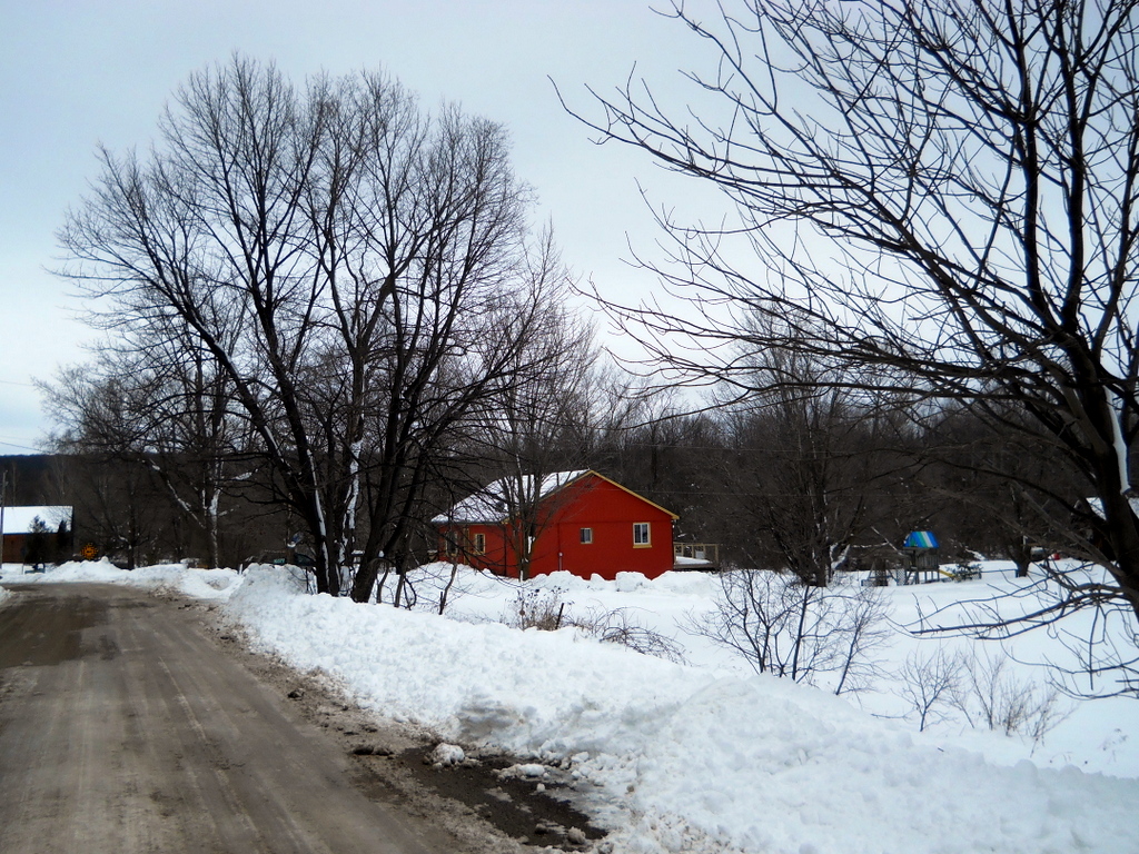
Some more pictures from our route are below.
 |
| Credit River. View East (downstream) from the bridge at the Dominion Rd |


No comments:
Post a Comment